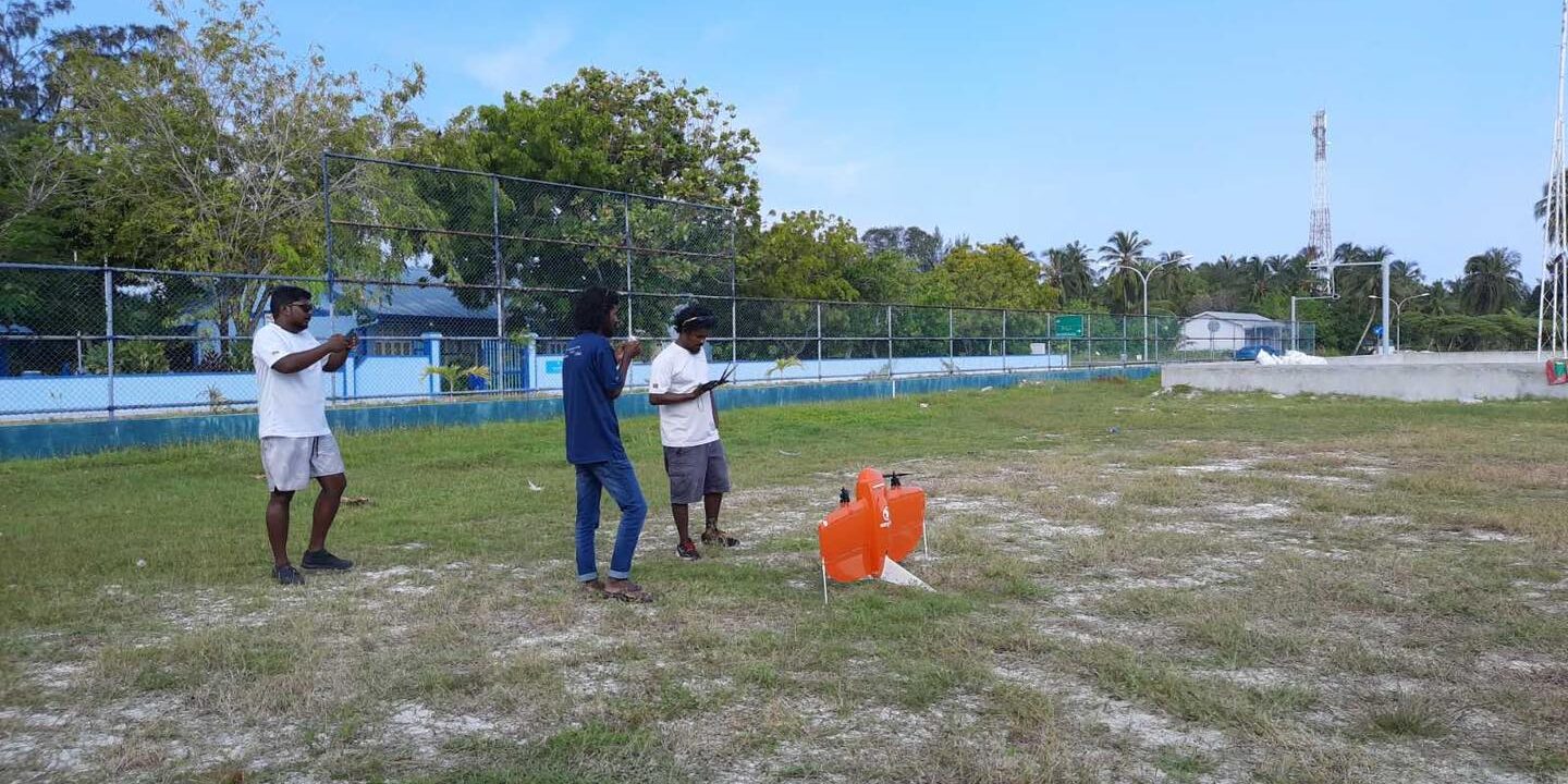
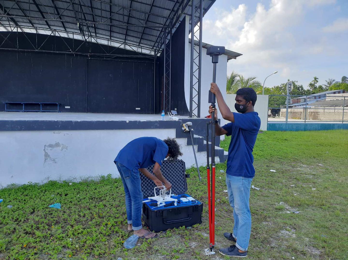
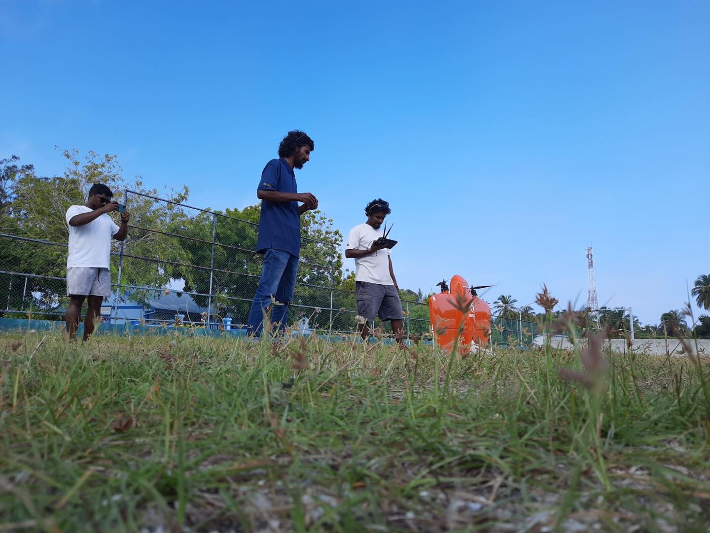
May42021Events 7 November 2020 Largest topographic survey conducted in Maldives has been completed by Foresight Surveyors in L.Gan, in coordination with WSmaldives for aerial mapping by using #wingtra and #DJI P4 RTK Category: EventsBy webmasterMay 4, 2021 Author: webmaster Post navigationPreviousPrevious post:Maldives Sri Lanka Cable (MSC) System ProjectNextNext post:Demo of SinoGNSS N5 with Housing Development Corporation LimitedRelated PostsForesight Surveyors 8th Year Anniversary CelebrationFebruary 3, 2022Maldives Sri Lanka Cable (MSC) System ProjectMay 4, 2021Maldives Srilanka Cable System Project SHORE END LANDINGMay 4, 2021Installation of the first GNSS CORS in Addu CityMay 3, 2021Addu City’s Topographic Survey.May 3, 2021Land Use Plan for Addu CityJanuary 21, 2021