In the 10-year history of Foresight Surveyors (FS), we have achieved numerous milestones, overcome various obstacles and crossed miles to come to where we are today.
We have recently completed the geophysical survey undertaken for the construction of Thila-Male’ bridge as a subcontractor of Afcon Infrastructure Limited. The geophysical survey comprises of the core survey disciplines, where some of them were carried out for the first time in Maldives. The team who carried out these surveys consists of local and foreign experts. The main survey works, which commenced in November 2021 were completed within 3-4 months.
Although the main surveys were carried out in the deep sea, along the proposed bridge line, at the width of 1km, surveys were also carried out in the islands proposed to be connected by the bridge which are Male’, Villingili, Gulhifalhu and Thilafushi.
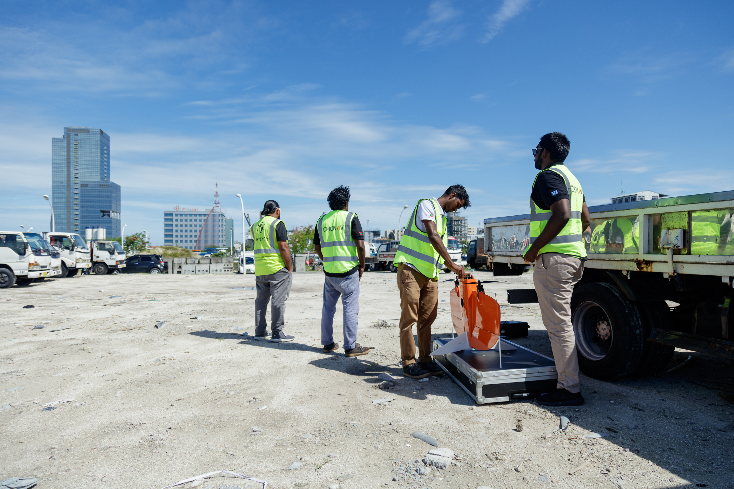
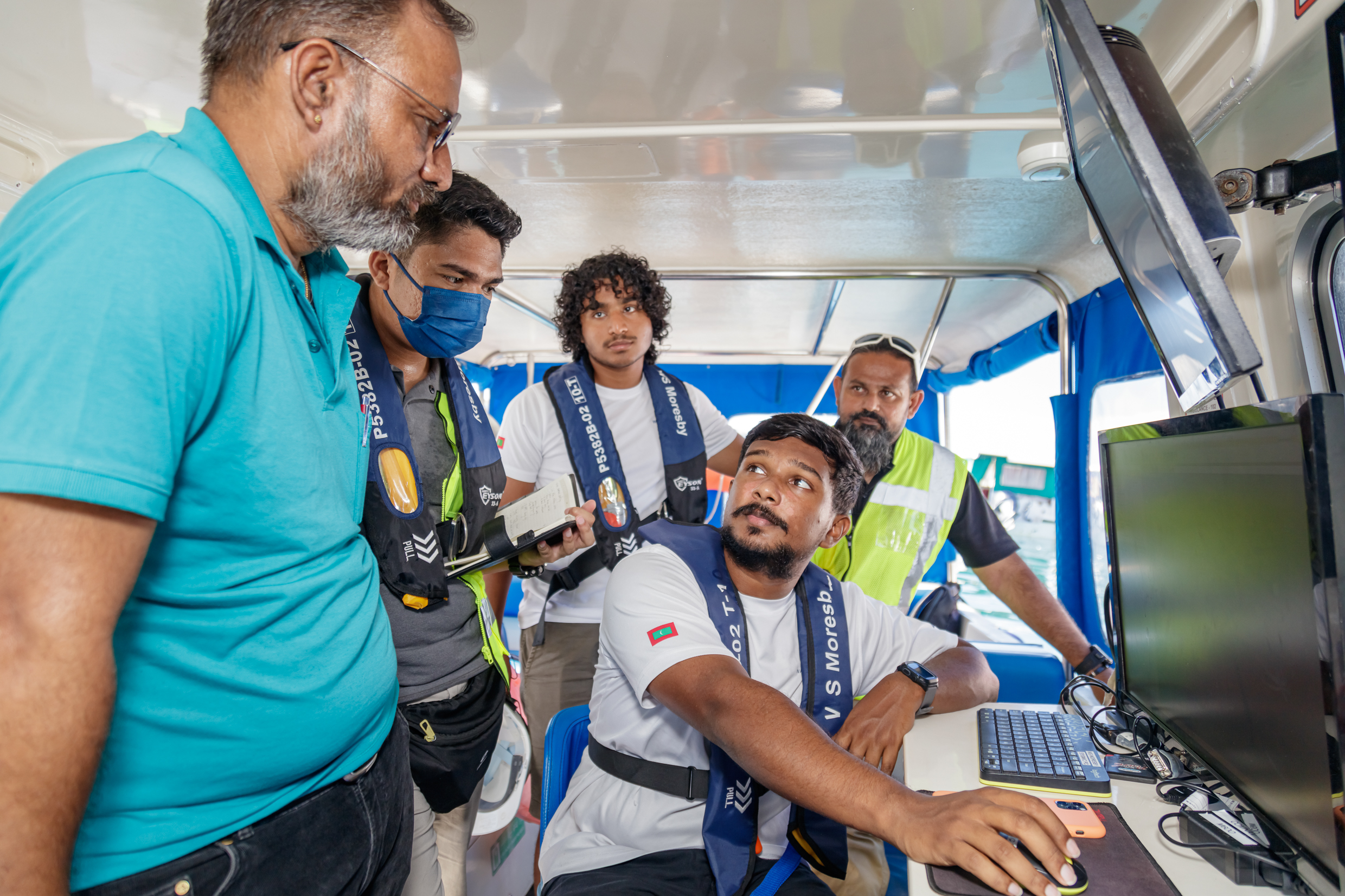
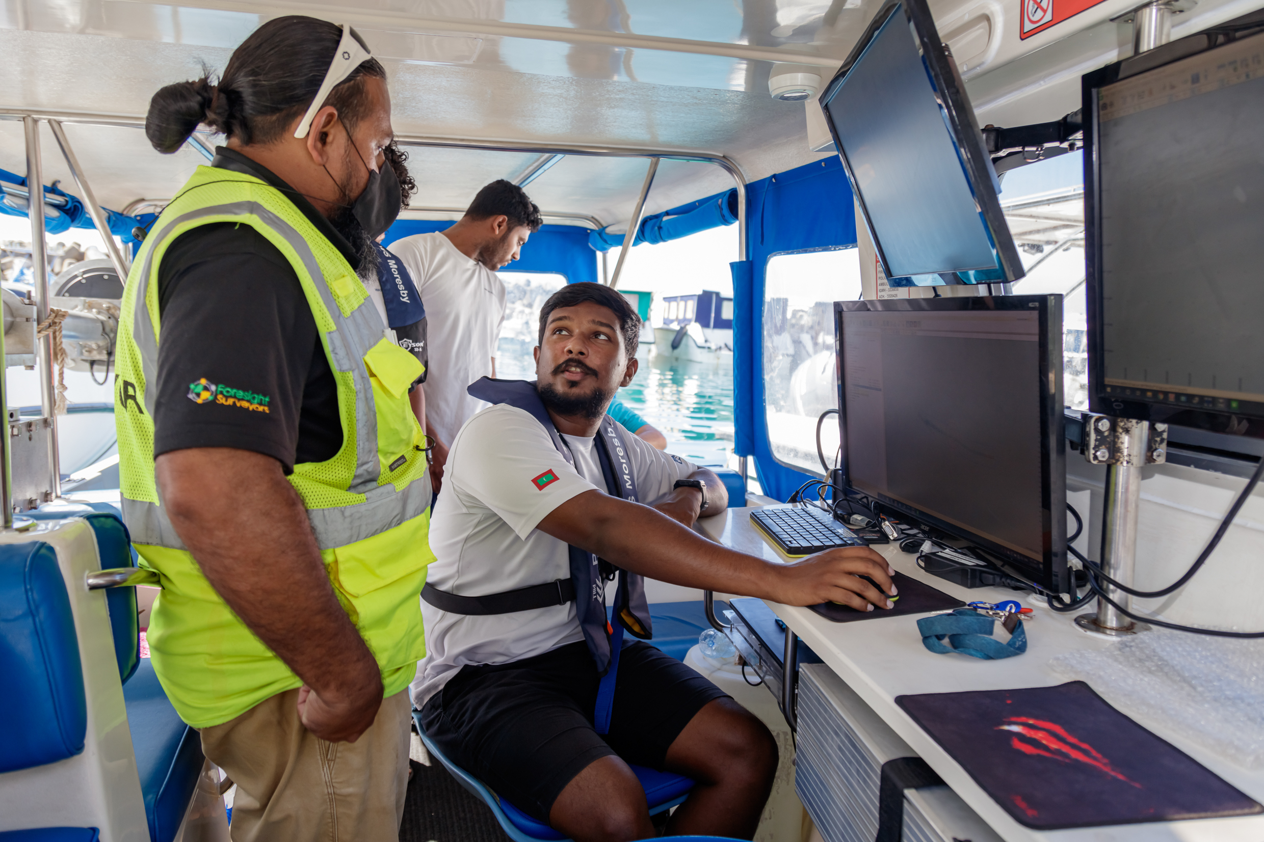
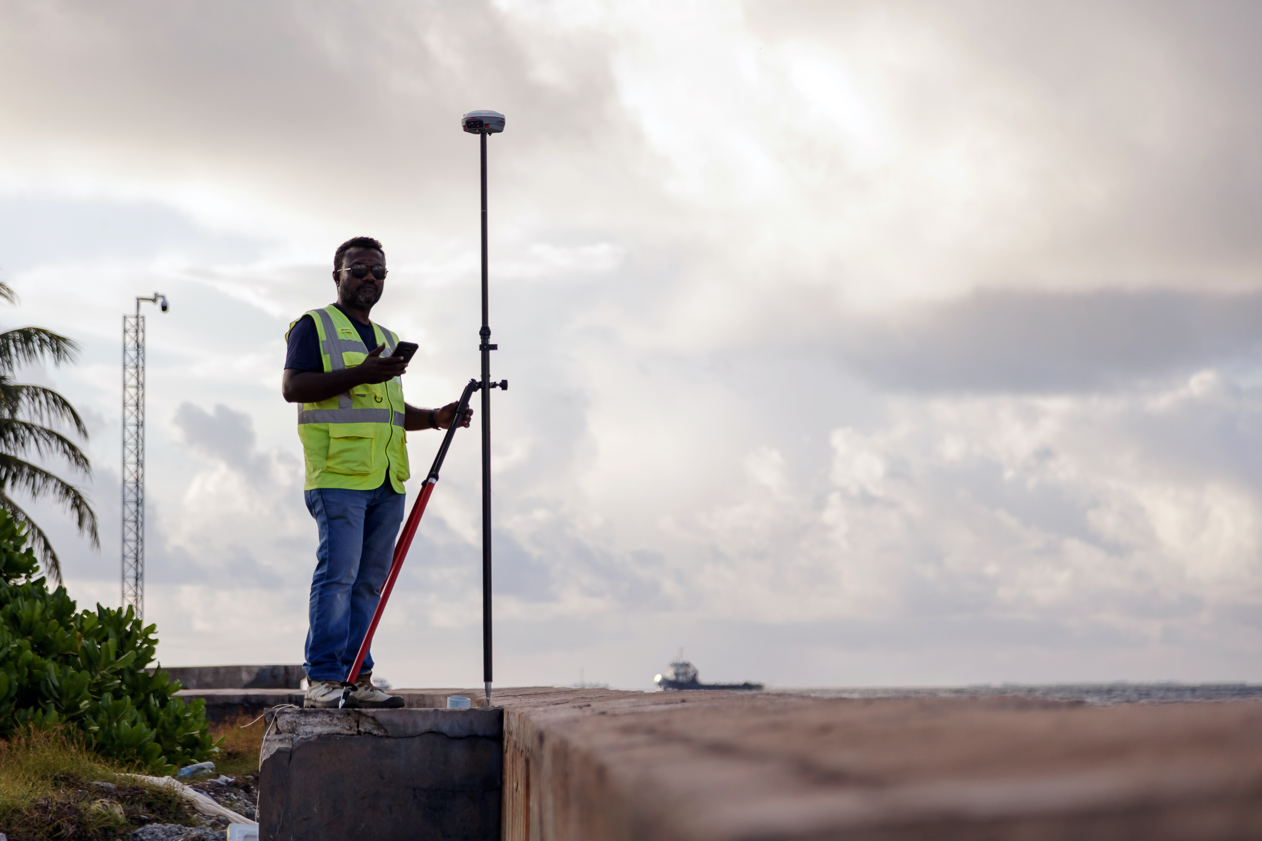
Fundamental surveys undertaken for any similar mega infrastructure project that comprise of land and marine construction were carried for the bridge project. They range from the basic control, topographic and aerial mapping survey to side scan sonar, single beam and multi beam bathymetry to map the seafloor. These surveys connect the 4 islands to be connected by the bridge in one control survey network with the production of maps and high-resolution images.
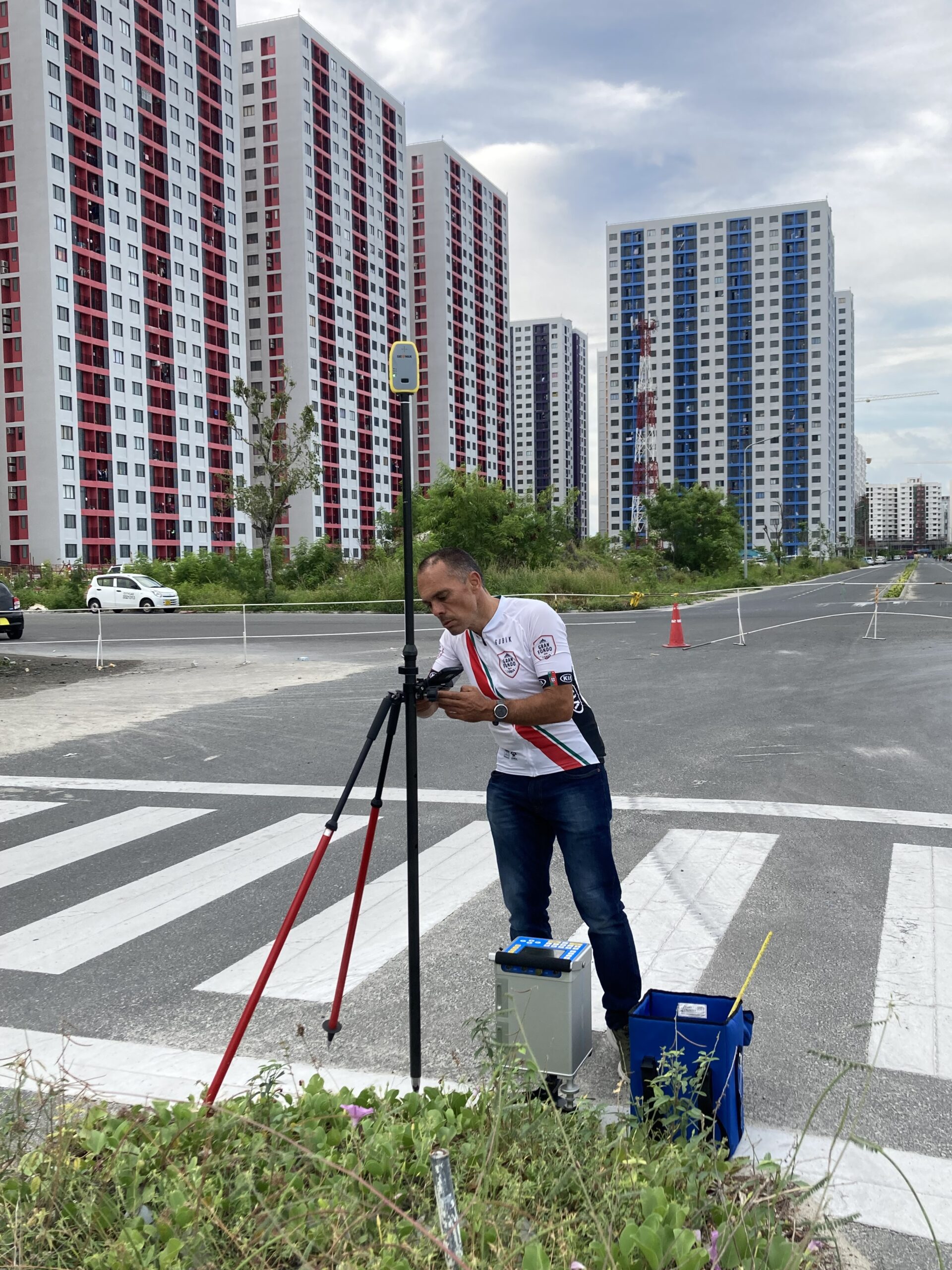
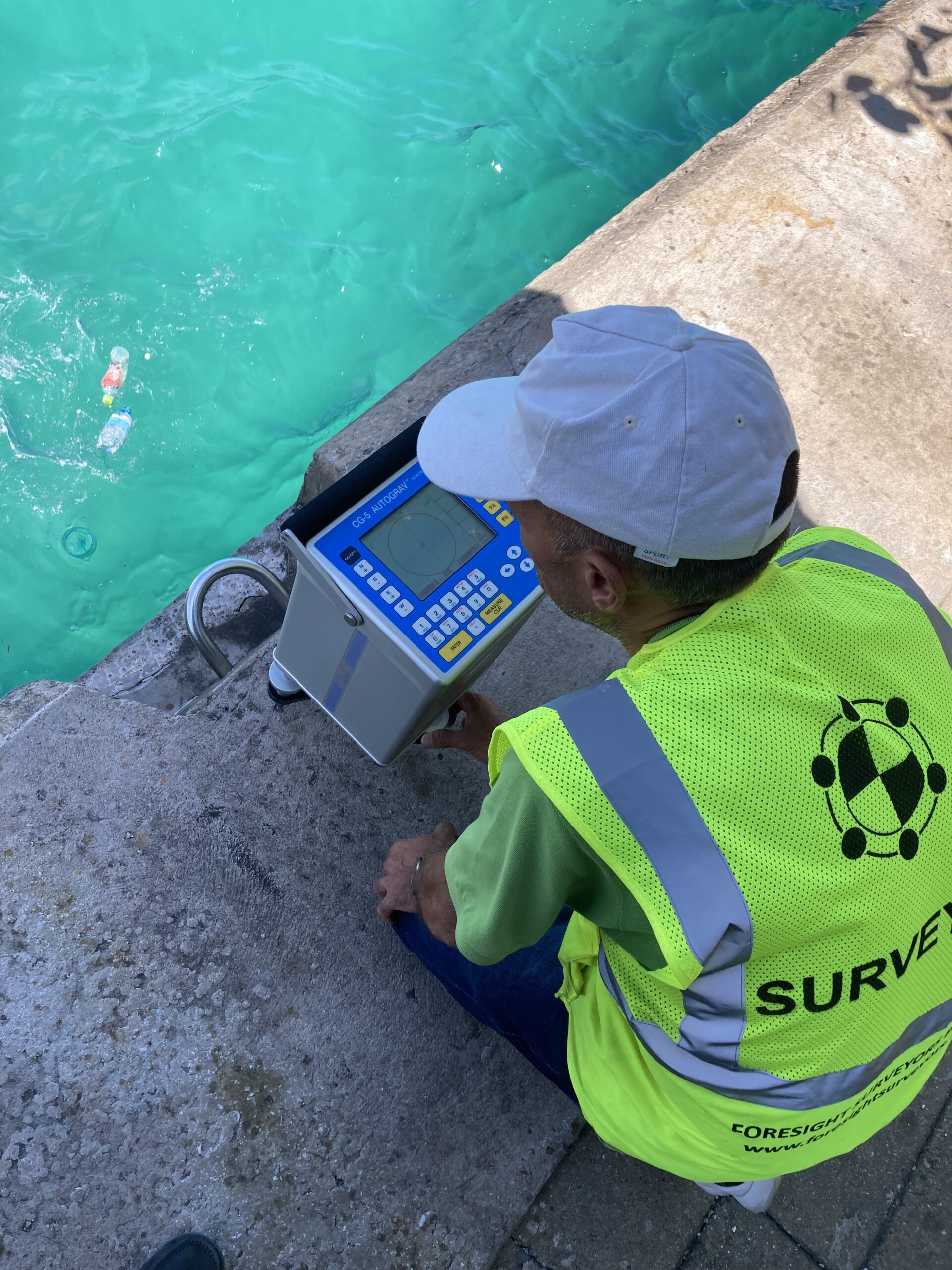
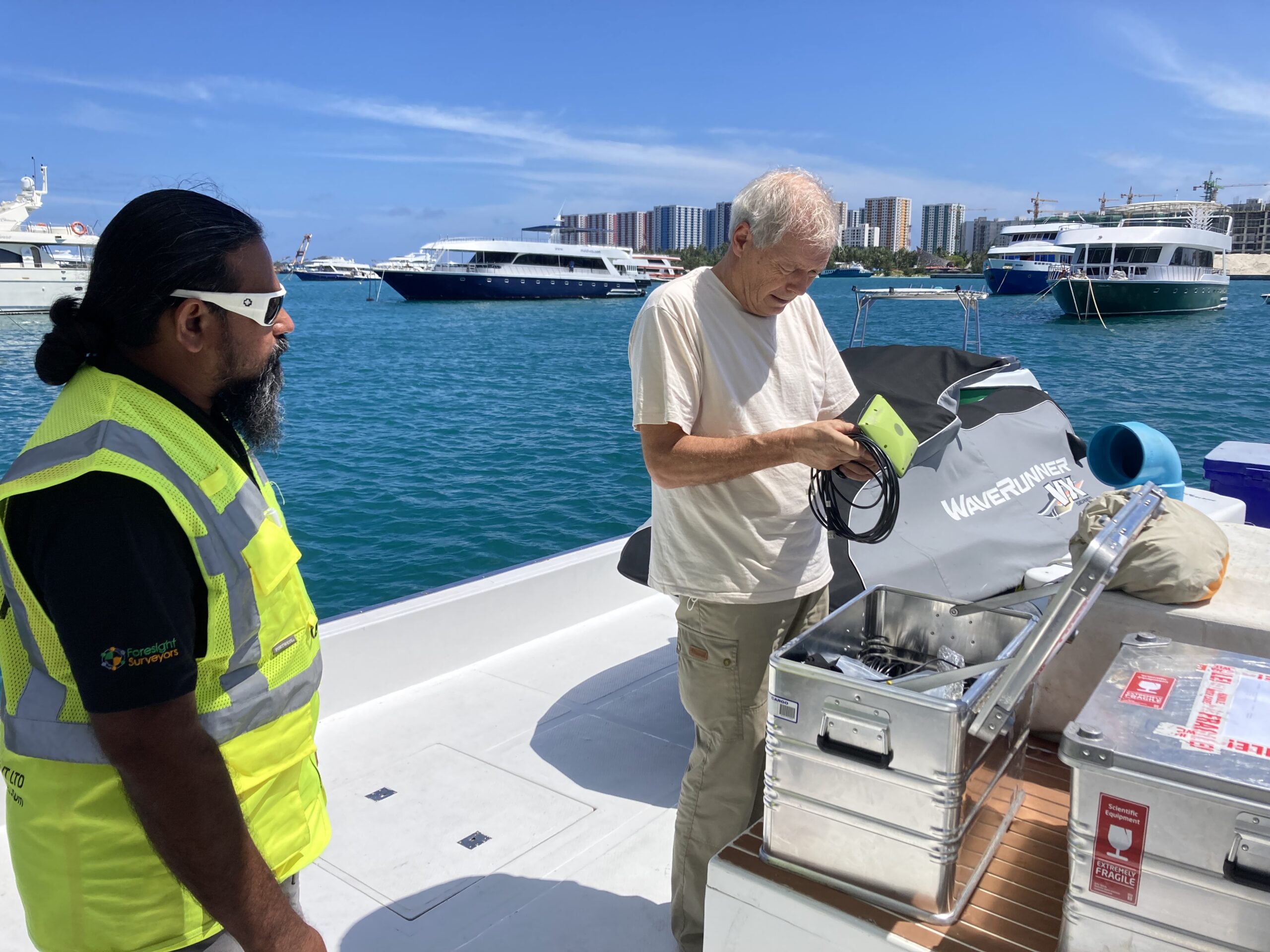
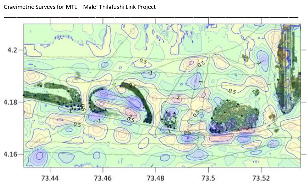
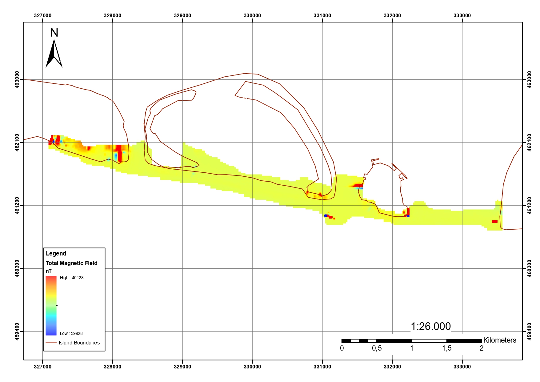
Additionally, to analyses and assess the geophysical properties of the underground, marine seismic sub-bottom profiling and land seismic refraction surveys are carried out. Furthermore, marine and land magnetic and gravity surveys were performed to define the horizontal and vertical position of magnetic bodies, estimate their ferrous mass and burial depth. As per our understanding, this is the first time a marine gravity survey has been carried out in Maldives for a project of this nature. The results give information about the nature and thickness of alluvium deposits, surface of bedrock, the depth of weathering zones in the rock mass, location of geological boundaries and identifies faults or weak zones, scale and width, etc. The seismic velocities are characteristics of the nature and quality of the bedrock.
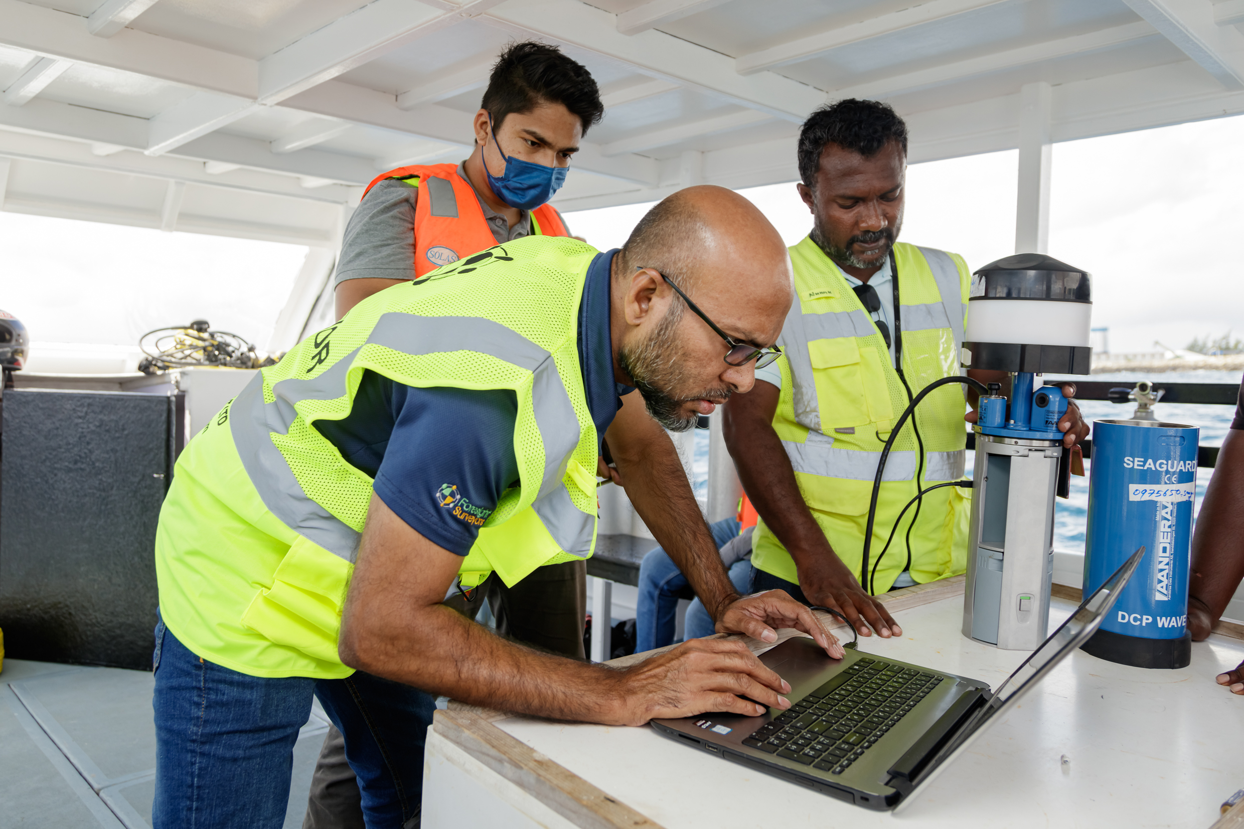
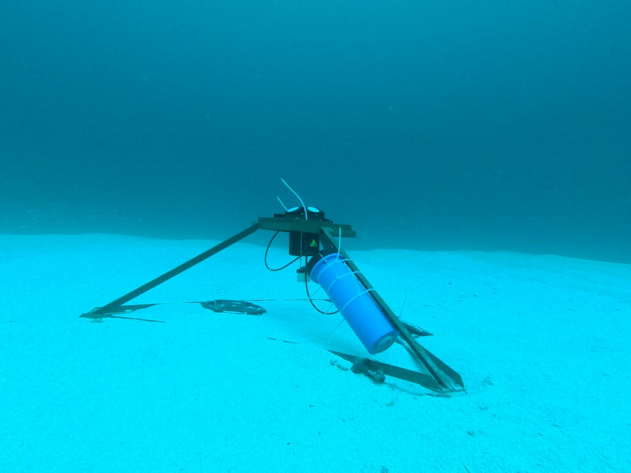
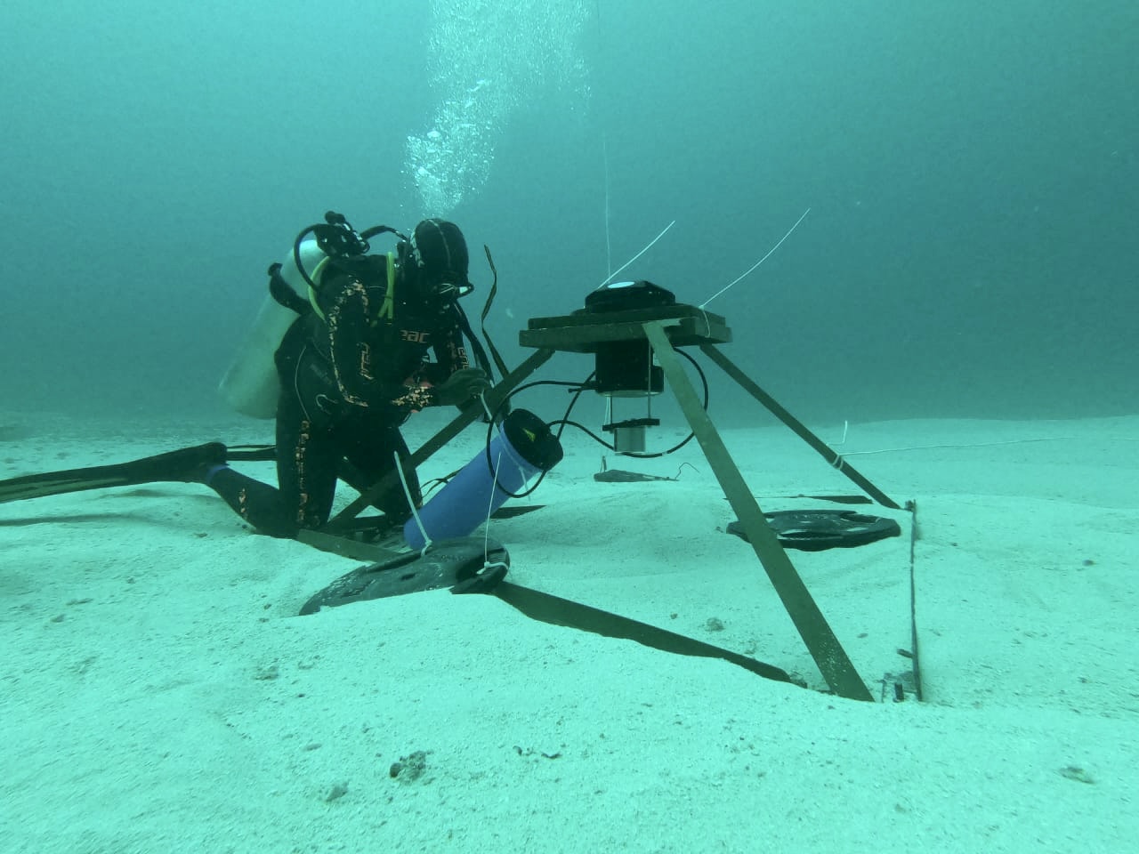
Since the proposed bridge crosses 3 atoll channels, 3 Acoustic Doppler Current Profilers (ADCP) were deployed in these channels to monitor the strength, direction and magnitude of the current and wave, at various depths, along and across these channels. Since the deployment depth of the equipment vary between 30-60m, it was challenging to setup the equipment at the seabed. However, as limited time was available for the survey, to eliminate additional logistics, bottom deployment was preferred over the surface deployment. Data collection in each of these points were carried out for a duration of 3 months.
The Thila-Male’ bridge survey is another milestone we have crossed in our history. This is a huge, unique and a distinctive survey work carried out in Maldives by a local survey firm which involves almost all the core survey disciplines. We thank all who assisted and took part in this project with us.
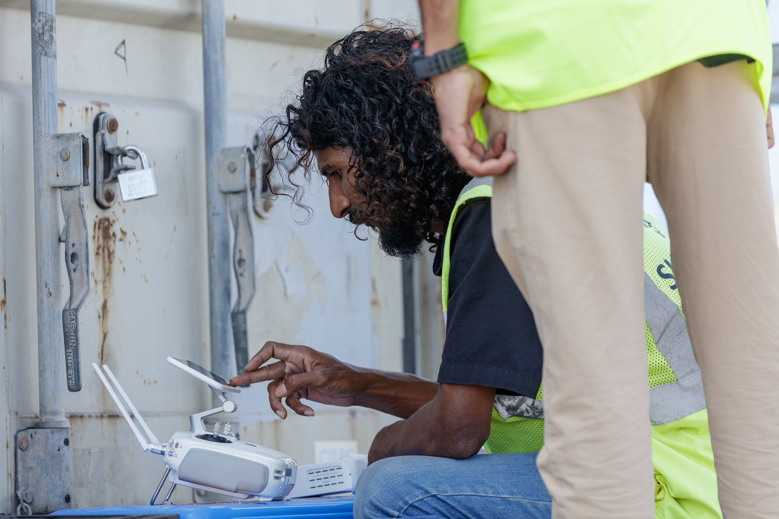
Aerial mapping


Hydrographic Survey


Topographic Survey

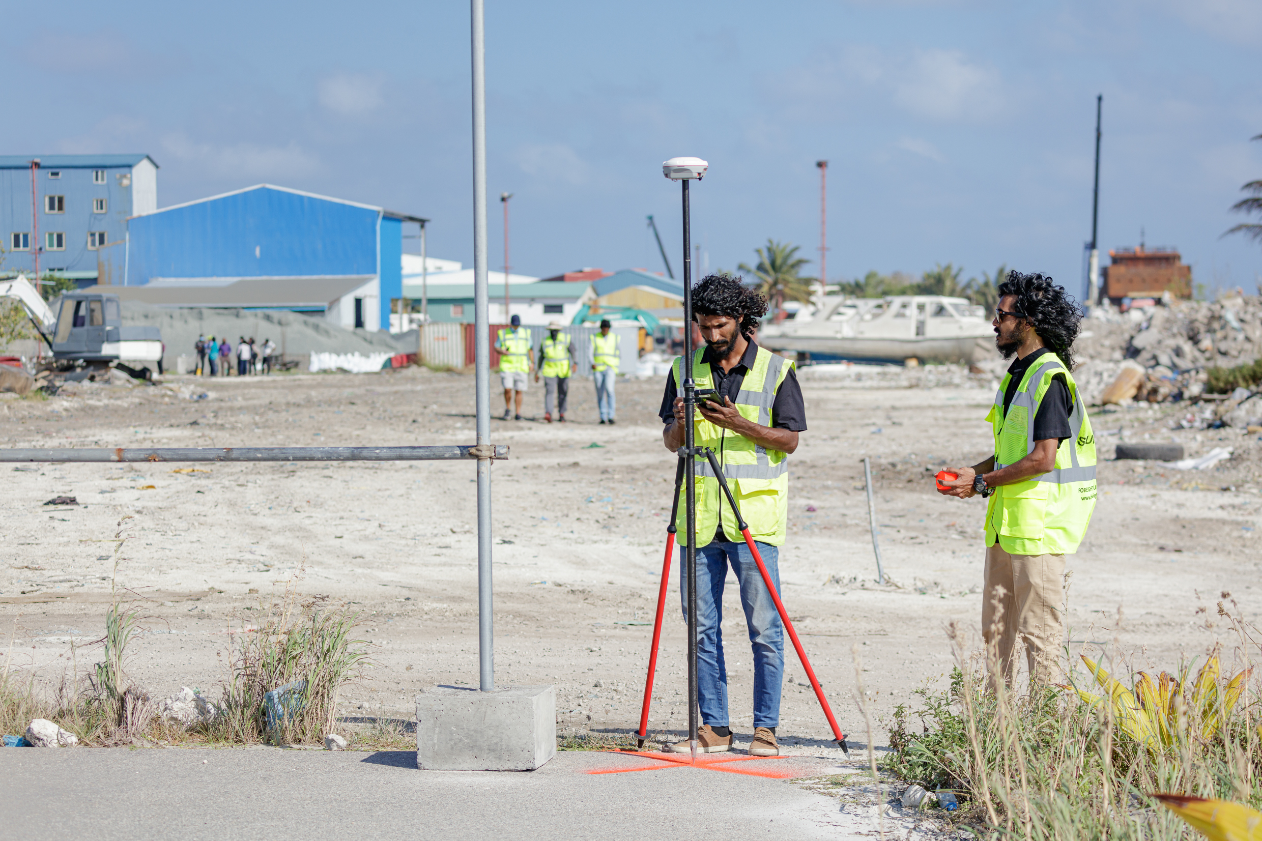
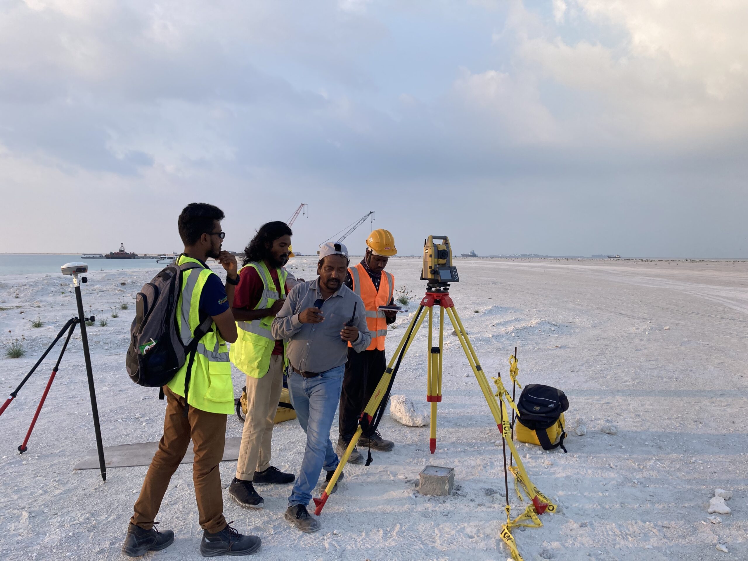
Land & Marine Gravimetric Survey
Land Magnetic Survey

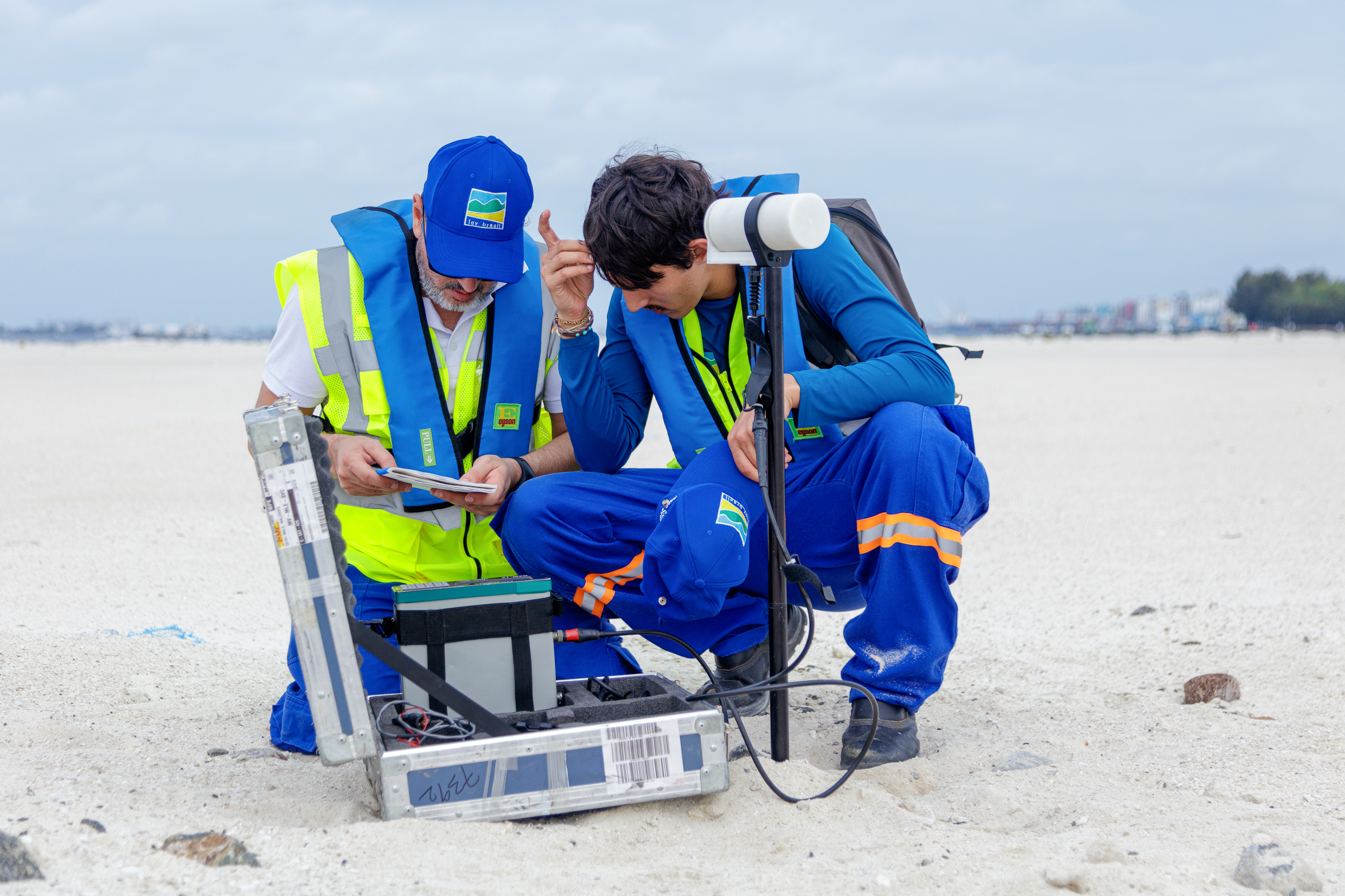
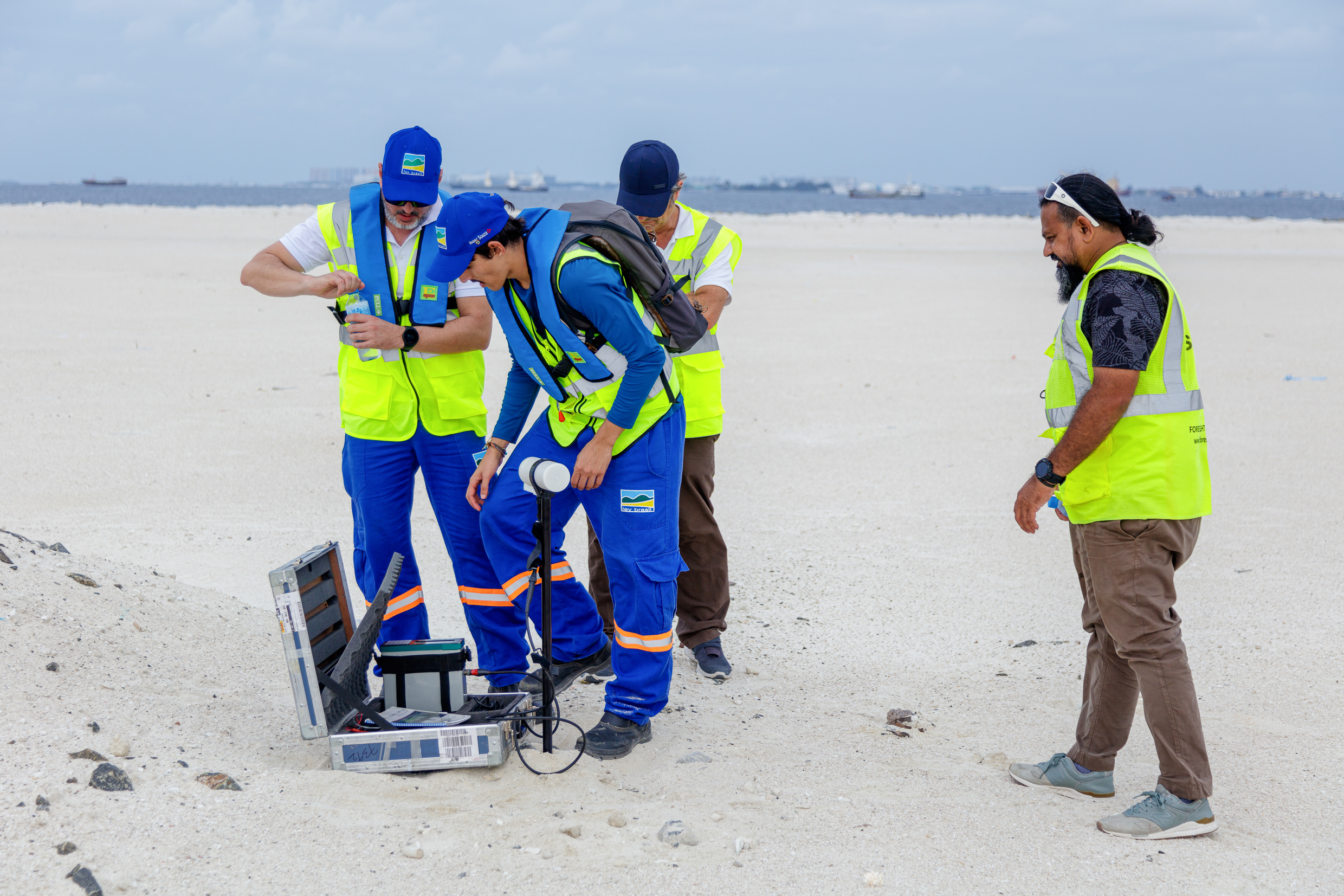

Marine Magnetic Survey

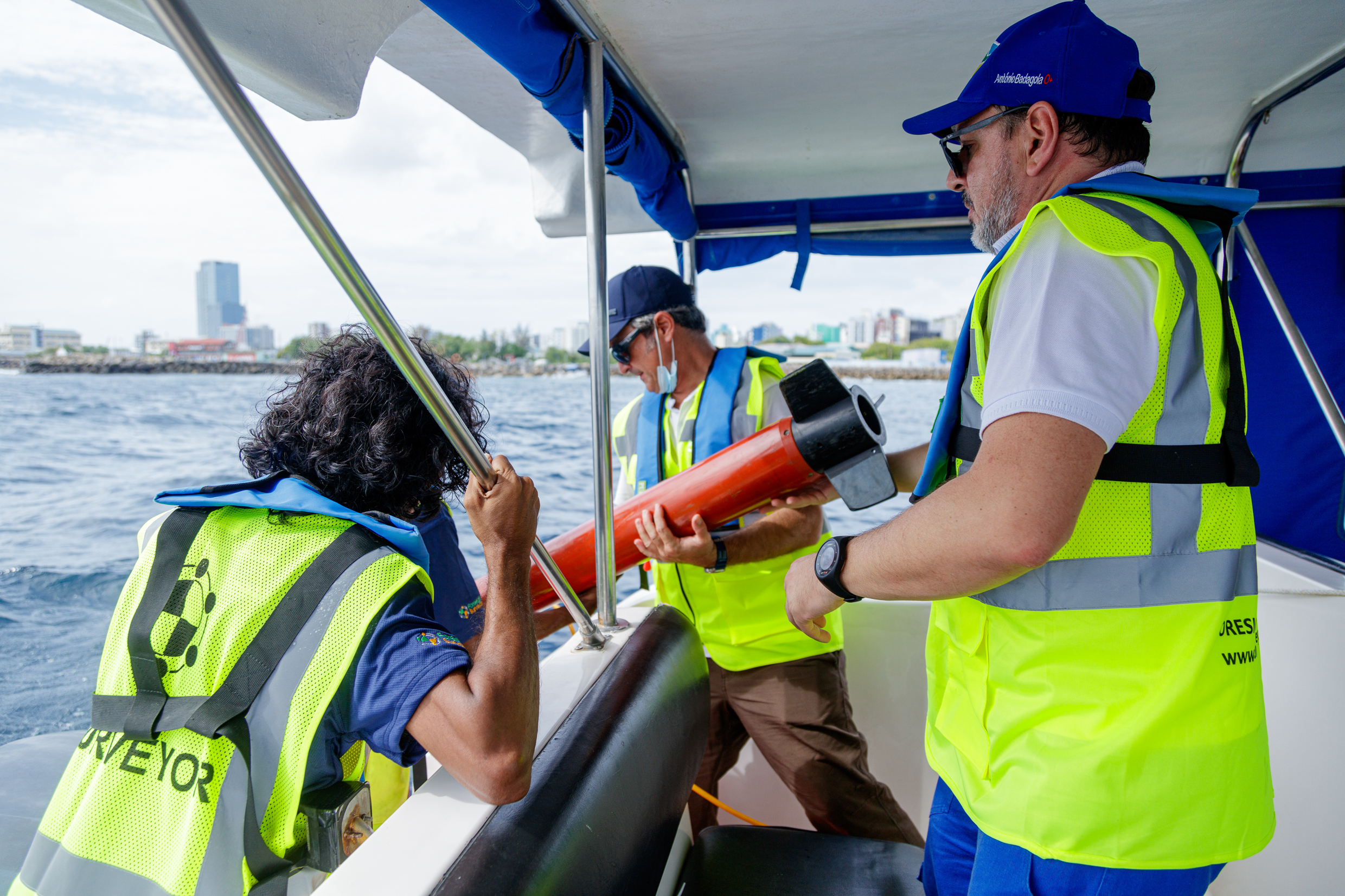

Under Water ADCP setup (current and wave measurement)
