Being one of the oldest professions in the world, surveying has been advanced from the time of Gunter’s chain and compass to the state-of-the-art GNSS techniques. Even though Maldives is small and the survey community is minor, DGPS surveying is very common in the country. Almost all the private survey firms, including freelance surveyors own DGPS systems. However, in today’s survey industry, GNSS static baseline determination for everyday application is almost out-of-date. The present day trend or the technology is to continuously observe and measure using permanently stationed and continuously operating GPS or GNSS base stations or networks which provides real time accurate positioning. This advanced component of geoscience infrastructure is known as a GNSS CORS network.
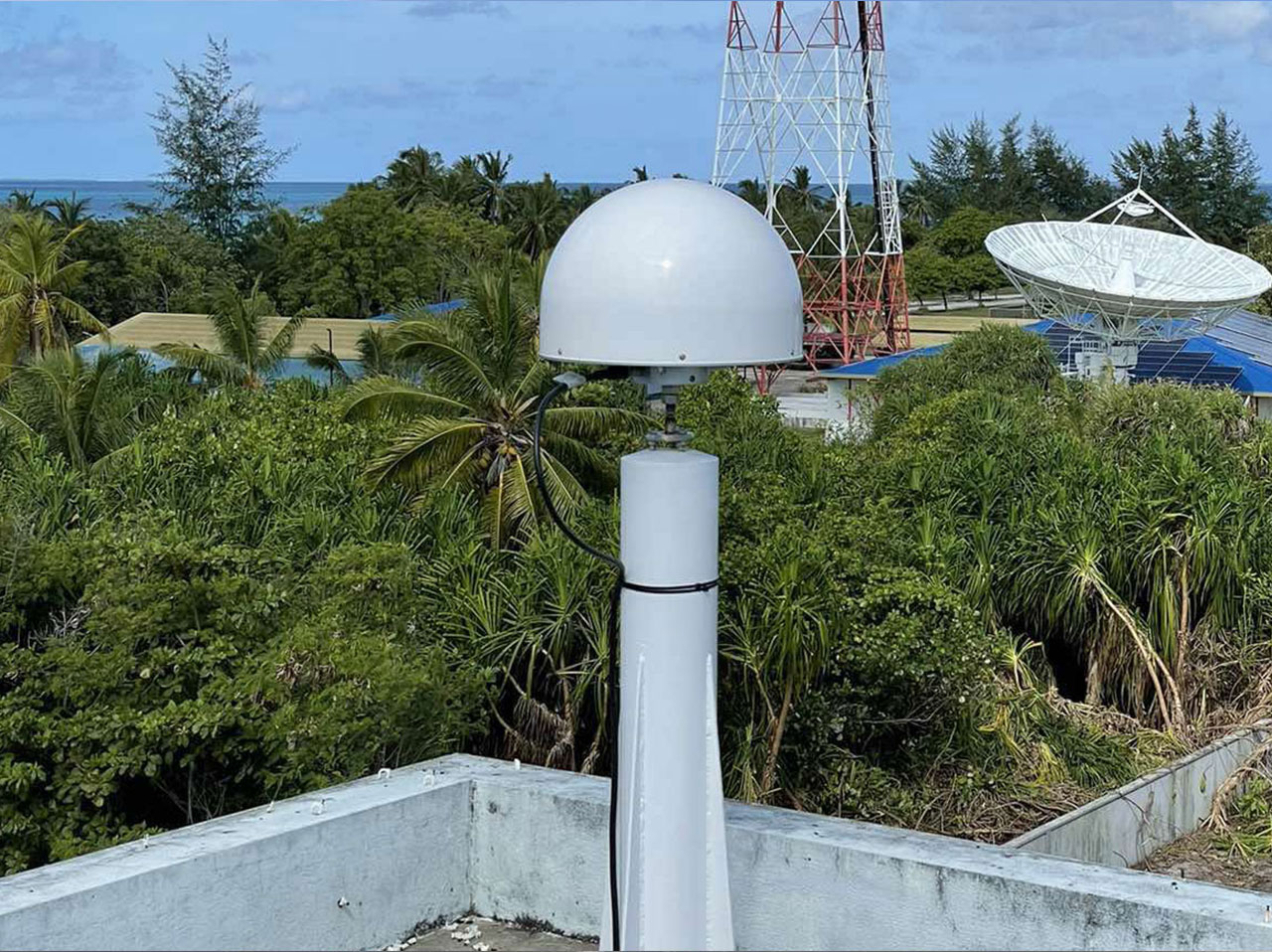
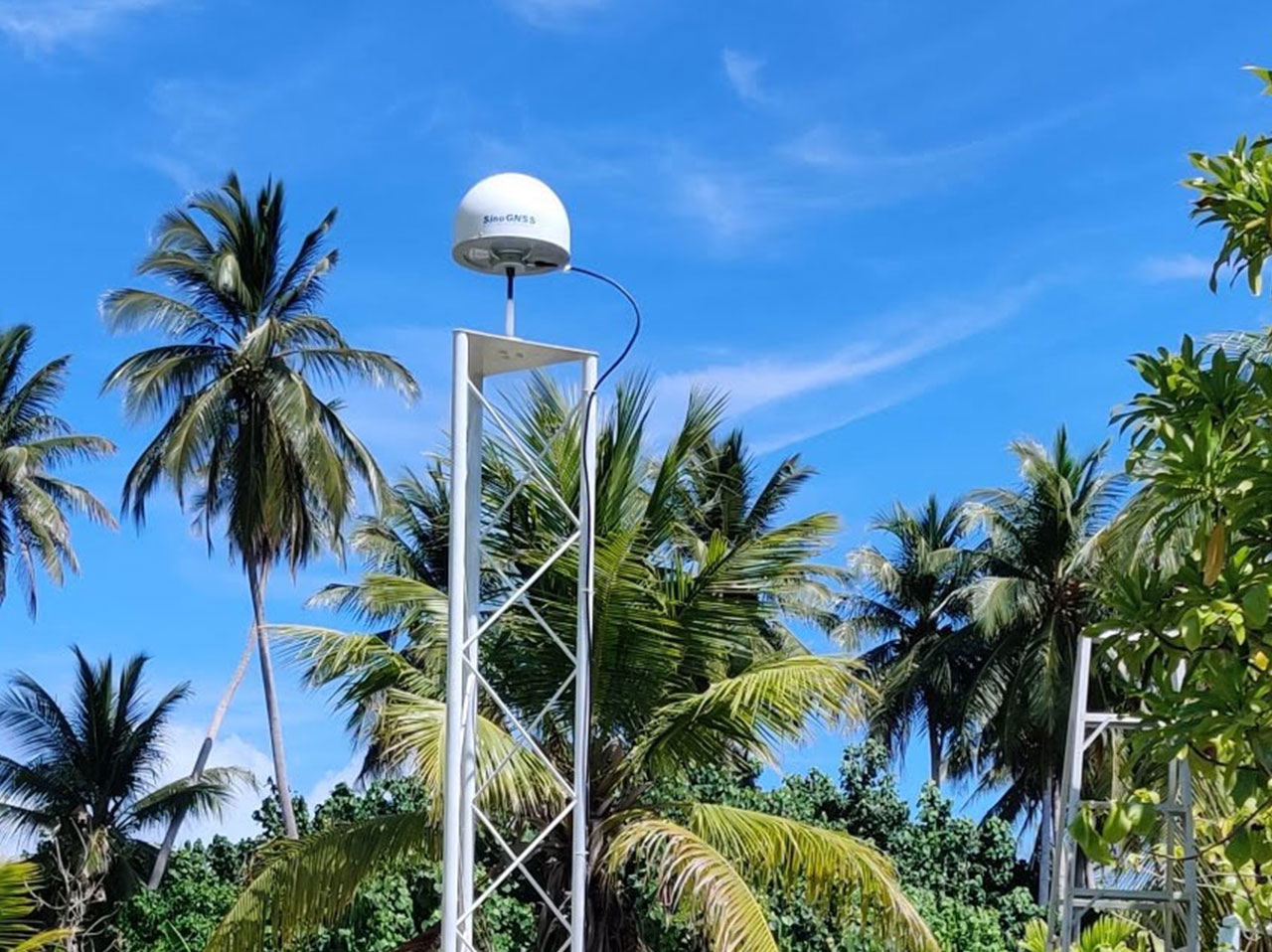
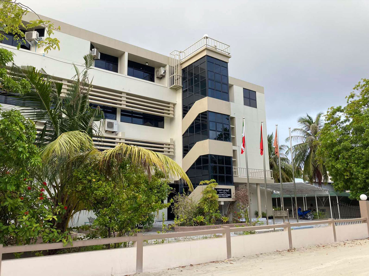
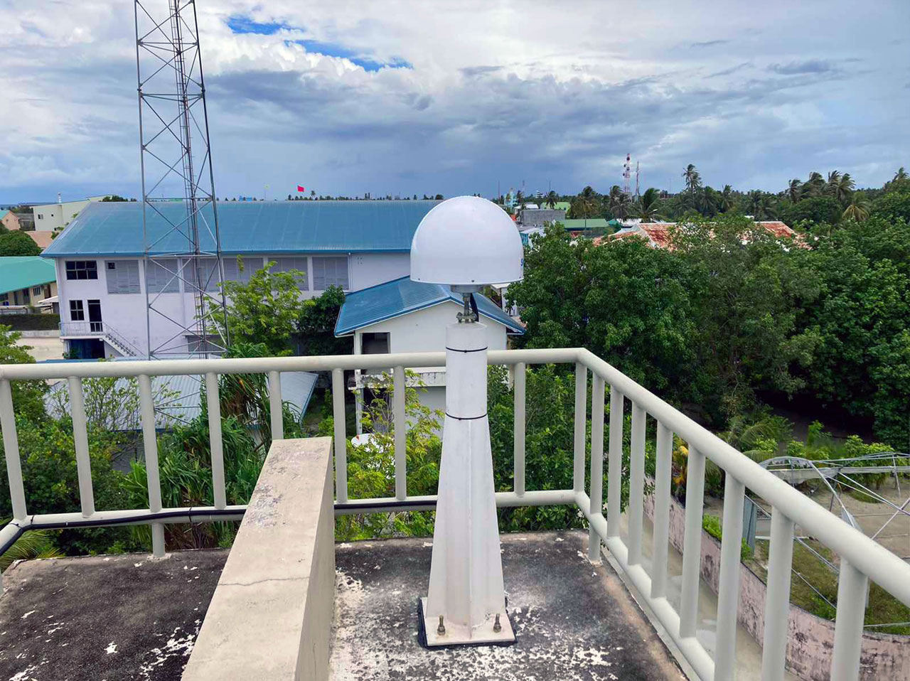
Foresight Surveyors, who has been largely involved in the development and expansion of current day survey industry in Maldives, has set forth to connect the Maldivian islands via a CORS network (MVCORS). The project is carried out in coordination with Maldives Land and Survey Authority and with assistance of an international consultant to industry standard. The proposed MVCORS installment project is planned to be completed in 2 stages, whose first stage has already been started. Under the first stage of the project, 9 CORS stations will be installed throughout Maldives which will be connected as a single network at the end. It is planned to complete the 1st stage of the project by October 2021. At the completion of the 2nd stage, an additional 12 stations will be added to the already established MVCORS. Currently we have established CORS stations in Seenu Hithadhoo , Laamu Gan and HDH Kulhudhufushi.
Apart from the survey community, local community can highly benefit from such a network once it is in operation. Few of the benefits are highlighted below.
- A single GPS receiver (rover) is needed for the survey – It eliminates base setup which reduces the items that has to be carried by a surveyor and the time it takes to setup the base or change the base during a survey. On top of everything, for someone who is looking to invest for a survey grade GPS system, he/she will have to spend half of the cost compared to buying a system with a base unit and tripod.
- Ease of survey management – Since a large part of preparation and instrument setup is eliminated by use of CORS, beginners can easily carry out surveys with less training and struggle. This will be highly beneficial to local councils and large companies who keep site surveyors in work sites.
- Considerably less initial investment- For someone or for a local council who is looking to invest for a survey equipment for measurement purpose, a single GPS receiver can be acquired for a relatively cheap price compared to a GPS system with base unit or a Total station.
- Genuinely one-man job – To carry out a GPS survey with reference to CORS, you will only need to carry a rover unit, data collector and the rover pole which you can carry single-handedly even in a motor bike. Everything needed (other than the rover pole) can be carried in your backpack.
- Survey accuracy – The overall survey accuracy and precision will be better since the reference station (base station) does not change and stays in one position. The human error that propagates through the survey during the station setup or change will be eliminated.
Surveying with reference to a CORS network has numerous advantages over the conventional methods. It is high time that we eagerly embrace the adaptation from conventional survey techniques to the use of MVCORS for the greater good of the survey industry.
