
Our team members have a vast variety of knowledge and experience in different industries and using different technologies, we have been through all the trials and tribulations at the front-end,. Each job is approached professionally and safely by all of our staff.
We have a range of aerial platforms and state-of-the art imaging sensors and software which enable us to deliver a unique, tailored data solution to your specific needs. All mapping projects start with the end in mind, and we will guide you through the options for survey, mapping, GIS and visualization products. We will advise you what the best approach is to meet your project’s quality, accuracy, time and cost.
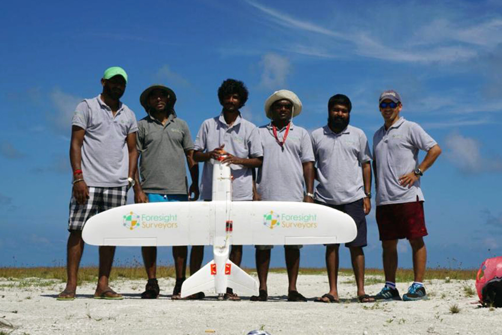
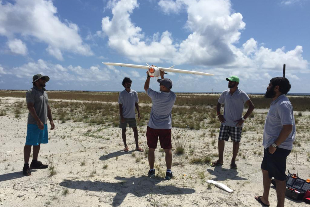
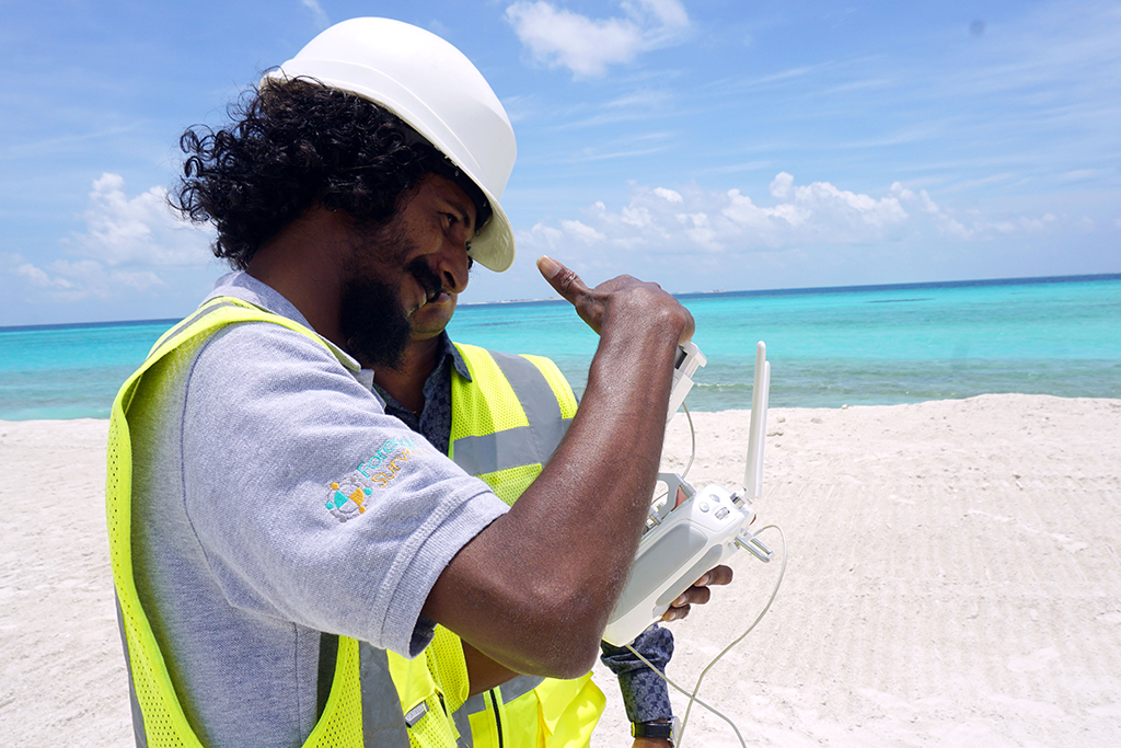
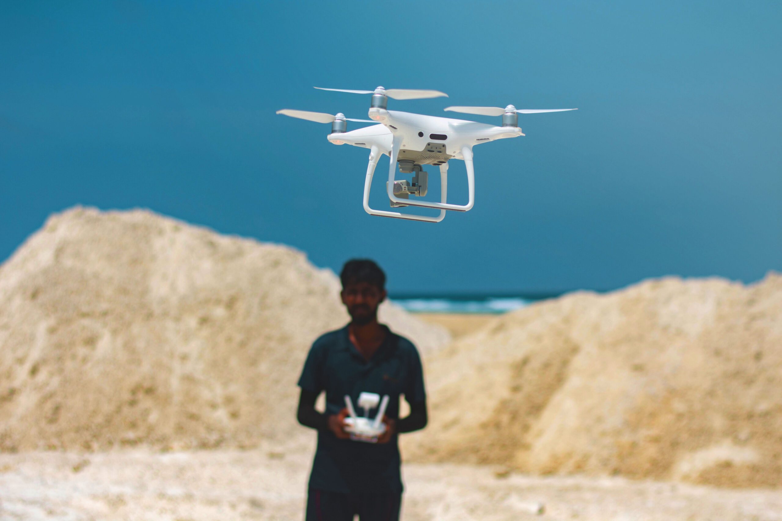
Our UAV operators are all qualified surveyors or photogrammetrists, making Foresight Surveyors your complete solution for project planning, ground control, image acquisition, processing and reporting. We are early adopters of the latest, proven technology, which allow our surveyors to work smarter and more efficiently.
Use Aerial Surveys:
- To track the progress of your project.
- To capture vast amounts of survey data and imagery over complex and large projects in a short period of time.
- To provide the best solution from a few hectares to hundreds of square kilometers.
Apply the services of Aerial Surveys to:
- Surveying, mapping, volumes
- Georeferenced orthophotography
- Visualization and simulation
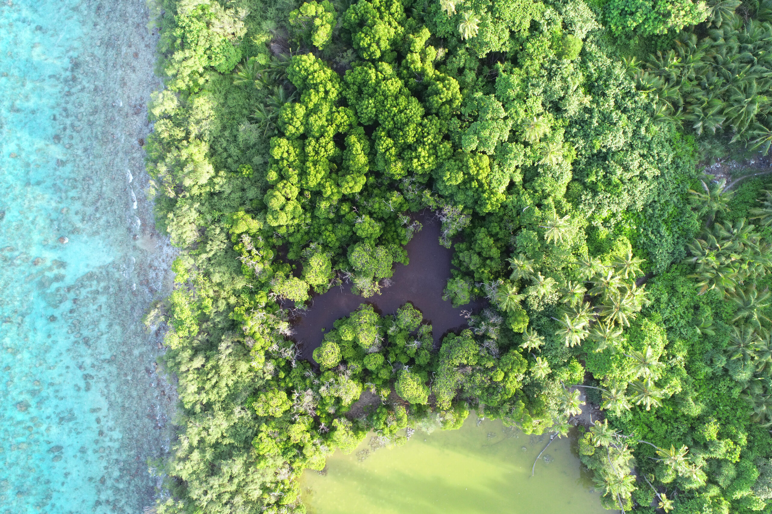
- Environmental and coastal monitoring
- Land and vegetation classification (NDVI)
- Visual inspection
The benefits of Aerial Surveys include:
- Safe and efficient methods of capturing large areas of survey data.
- High accuracy surveying
- No delays from interfering with ground work
Platforms we provide:
- PPK Fixed wing UAVs
- RTK Multi-rotor UAVs

All enquiries: [email protected]
