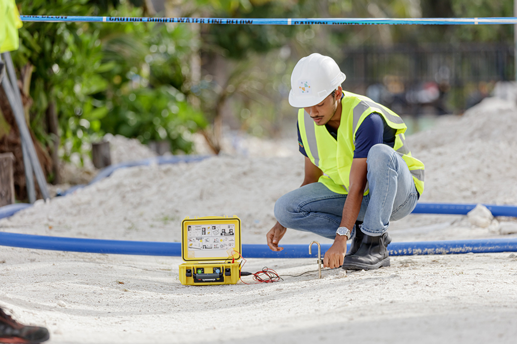
At Foresight Surveyors, we are committed to delivering innovative utility mapping solutions for the civil and design, environmental, geotechnical, utilities, infrastructure and facilities management sectors. Utilizing advanced geophysical, electromagnetic and high-frequency induction techniques, our utility mapping services ensure all known and unknown utilities are identified and accurately recorded.
You can trust our team to give you the confidence to plan, design and manage with our utility mapping and detection capabilities.
Use Utility Mapping to:
Validate existing utility locations and data from existing asset owner plans and search for unknown utilities, using a range of geophysical techniques.
Our underground utility mapping solutions can add value to your project by:
Mitigating potential conflicts in design to avoid costly delays in construction.
Conduct conflict analysis of utilities clashing with design.
Keyhole excavation using non-destructive digging techniques to confirm utility type, size, configuration, material and RL.
Applications of utility mapping and locating services include:
- Pipes
- Cables
- Buried structures
- Anomalies
- Features
Deliverables are:
- 2D
- 3D polylines
- 3D model and interactive PDF


Call +960 333 0567 or fill out the contact form to start the conversation.
All enquiries: [email protected]
